Playa de Pelluhue
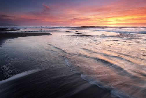 Foto: Gentileza Radio Chilena. https://radiochilena.cl/conoce-los-atractivos-turistico-de-pelluhue/
¿Cómo
llegar?
https://goo.gl/maps/bpszNhFnkNDU17Aa6
Embalse Tutuven
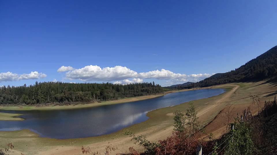 Foto Gentileza de: Camping Tutuven. https://www.facebook.com/Camping-Tutuven-107501256586183/
Distancia: 90,3
km.
¿Cómo
llegar?
https://goo.gl/maps/6D5zkR3vbW3b6ouo8
Rio Loncomilla
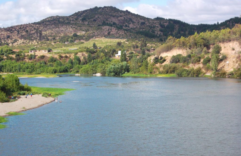 Foto de: De Alextan63 - Trabajo propio, CC BY-SA 3.0 https://commons.wikimedia.org/w/index.php?curid=32295021
Distancia: 42,7
km.
¿Cómo
llegar?
https://goo.gl/maps/teUmu8ZeJSJshcdn7
Rio Perquilauquén
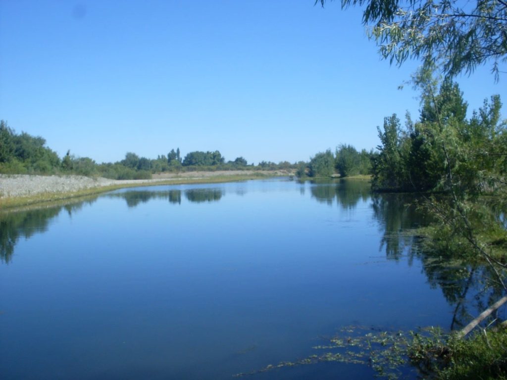 Foto gentileza de: Rios del Planeta. https://riosdelplaneta.com/rio-perquilauquen/
Distancia: 57,4
km.
¿Cómo
llegar?
https://goo.gl/maps/epSFHwmiPqbj6f2S7
Reserva Nacional Los Ruiles
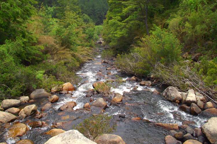 Foto: Gentileza de Huellas.cl https://huellas.cl/reserva-nacional-los-ruiles/
Distancia: 61,3
km.
¿Cómo
llegar?
https://goo.gl/maps/yYtG6CQL4pgmwKHNA
Rio Reloca
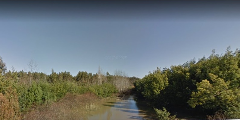 Foto Gentileza de google. www.google.com
Distancia: 43,4
km.
¿Cómo
llegar?
https://goo.gl/maps/Gfah6bfPU6y7eYQD9
Cerro Gupo
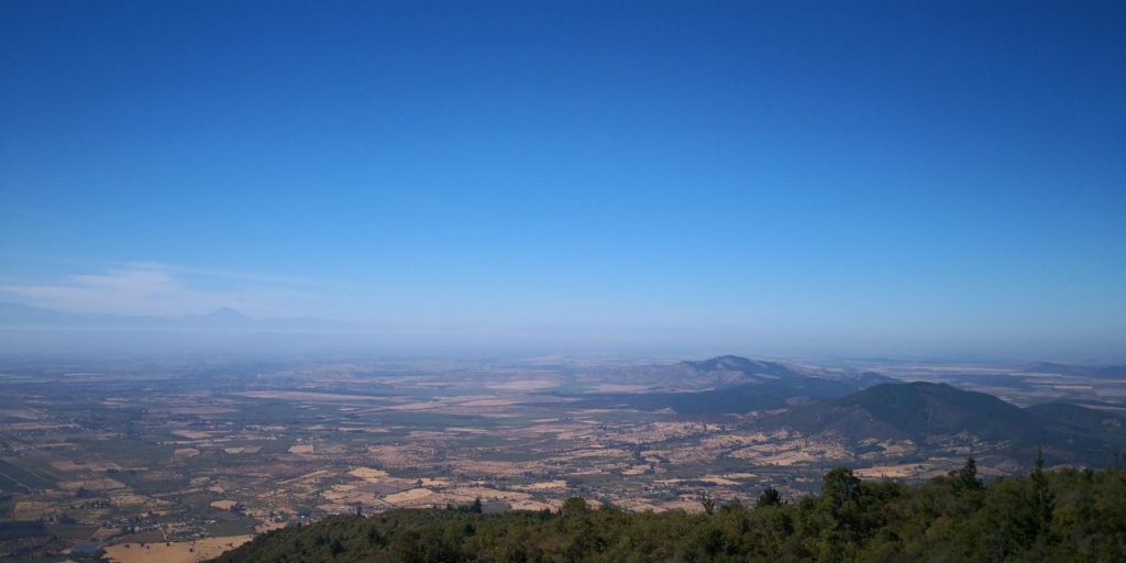 Foto Gentileza de: thepadreamaro@gmail.com https://es.wikiloc.com/wikiloc/user.do?id=1291857
Distancia: 36,5
km.
¿Cómo
llegar?
https://goo.gl/maps/Rfs8H7moSxGPNwJR7
Rio Maule
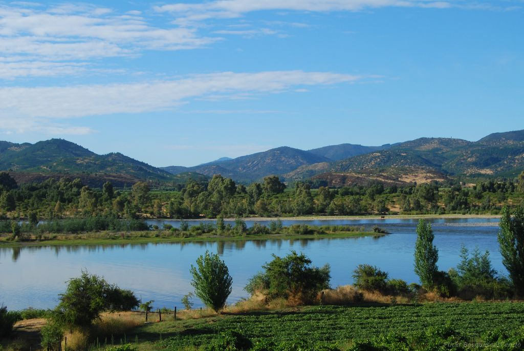 © Flickr usuario: Bosquesensilencio. Licencia CC BY-NC-ND 2.0
Distancia: 80,2
km.
¿Cómo
llegar?
https://goo.gl/maps/gjA1y9xRjNiJJBZCA
Constitución (Desembocadura Rio Maule):
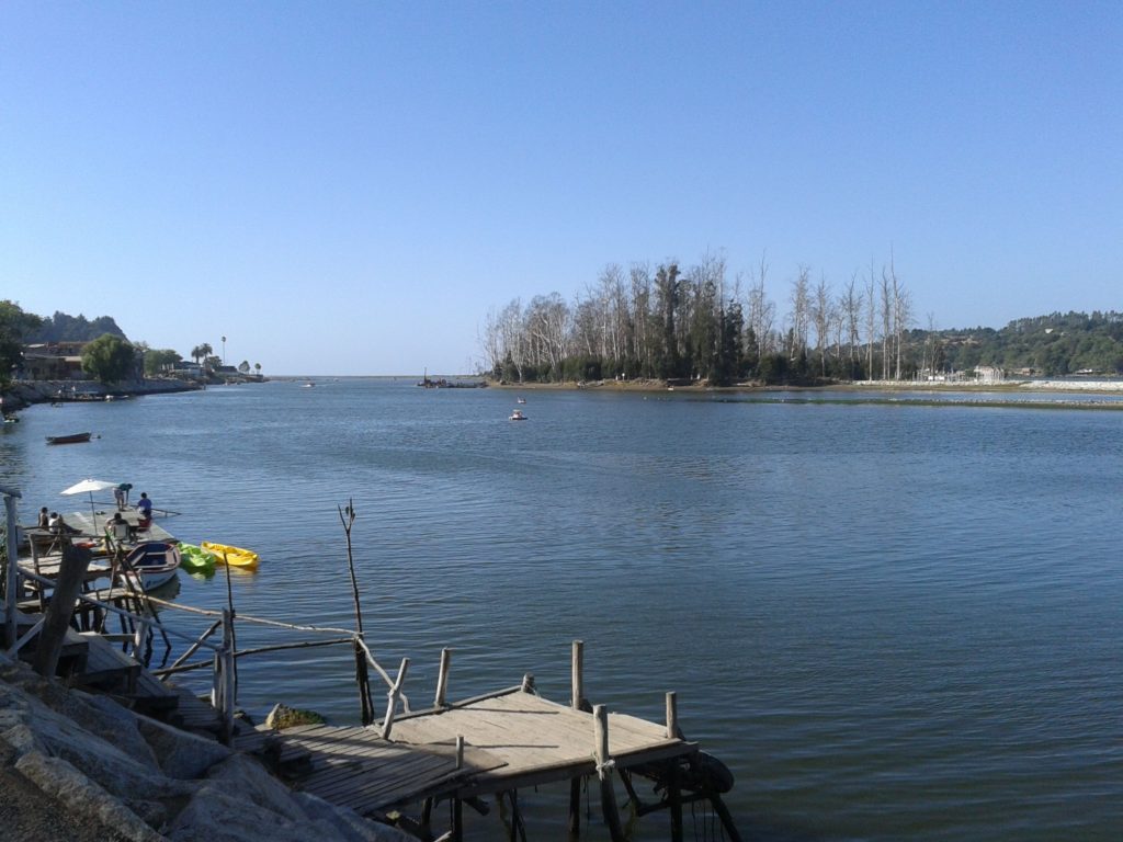 Foto: Tamara Saravia https://www.pinterest.cl/TamyhGalletita/
Distancia: 77,8
km.
¿Cómo
llegar?
https://goo.gl/maps/Rm8B5uBFjgYFeM1X7
Reserva Nacional Los Queules
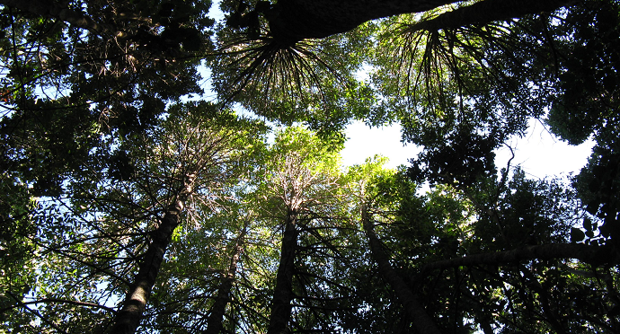 Foto: Gentileza ThisisChile https://www.thisischile.cl/panoramas/reserva-nacional-los-queules/
Distancia: 90,3
km.
¿Cómo
llegar?
https://goo.gl/maps/FyN2QwzfeCP6RoMJ9
Ciénaga de Name
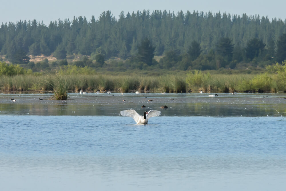 Foto: Gentileza Laderasur.com https://laderasur.com/articulo/cienaga-del-name-paisajes-resistentes-del-maule/
Distancia: 13,4
km.
¿Cómo
llegar?
https://goo.gl/maps/yxv9YhJNgbea4HA16
Rio Achibueno
 Foto: Gentileza Codexverde.cl http://codexverde.cl/fue-publicado-en-diario-oficial-creacion-del-santuario-de-la-naturaleza-cajon-del-rio-achibueno/
Distancia: 59,7
km.
¿Cómo
llegar?
https://goo.gl/maps/stQGHaKijSML1q7r5
Reserva Nacional Federico Albert
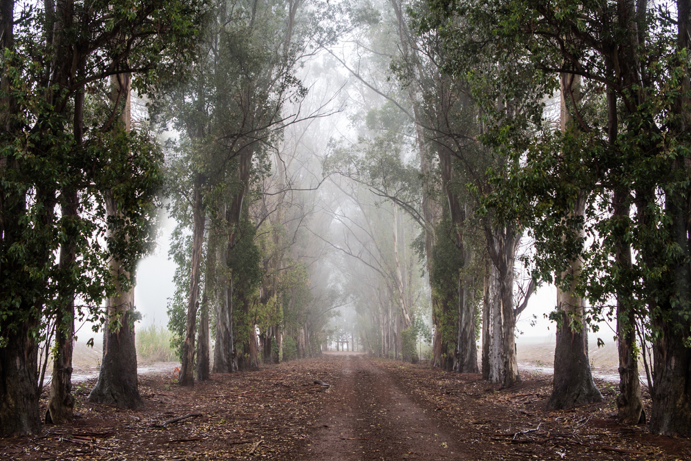 Foto: Gentileza Turimoschile.com http://www.turismochile.com/reserva-nacional-federico-albert/
Distancia: 55,4
km.
¿Cómo
llegar?
https://goo.gl/maps/84yRG3jFuT1VwfZU8
Termas de Panimávida
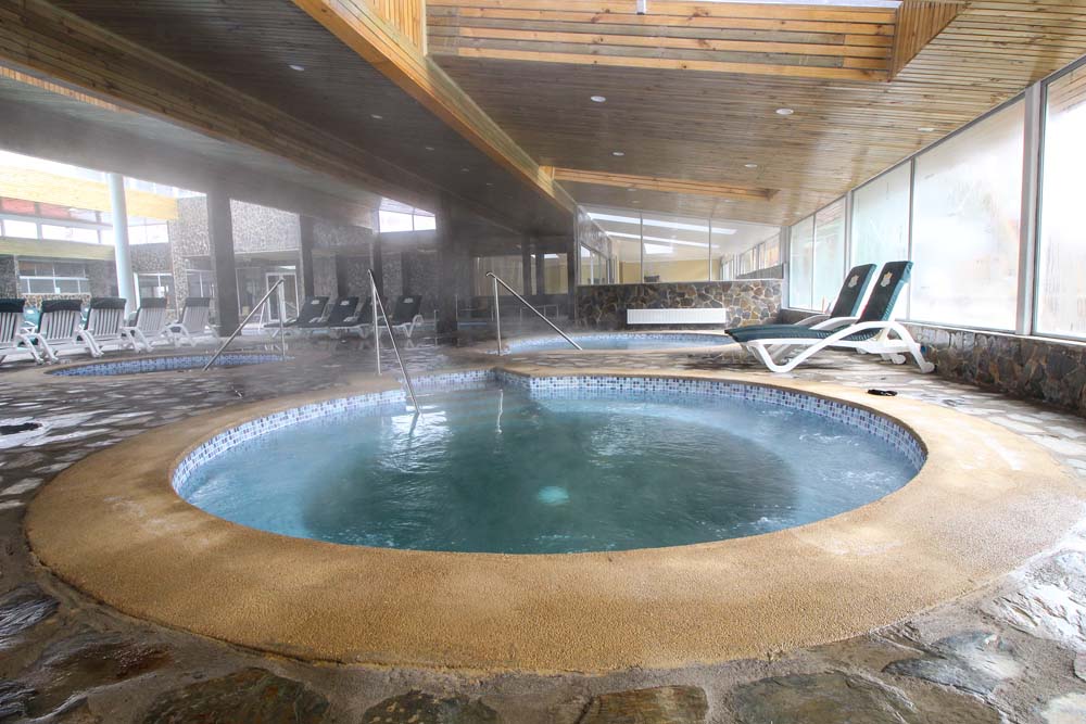 Foto Gentilza: Termas de Panimávida, RESORT & SPA. http://www.termasdepanimavida.cl/hotel/
Distancia: 85,1
km.
¿Cómo
llegar?
https://goo.gl/maps/1G39dwnenypjgiYR9